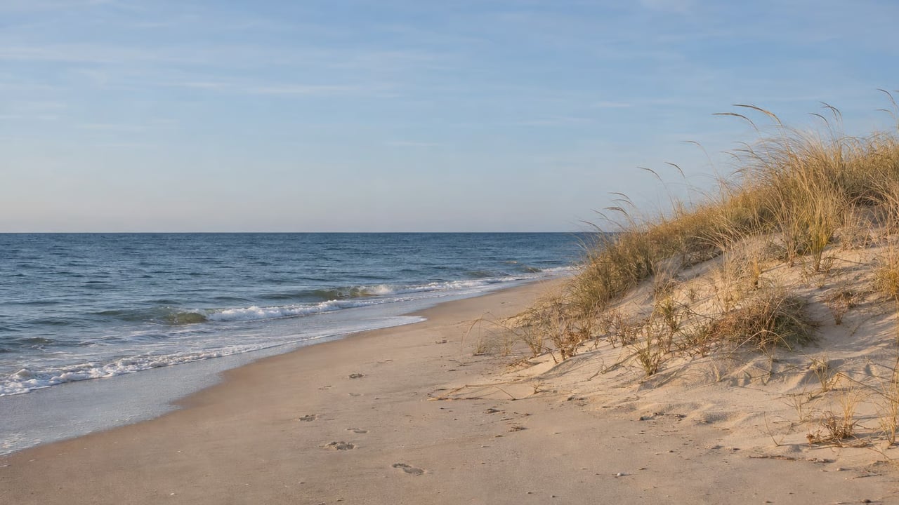
Stand on Atlantic Avenue across from the Windjammer and Atlantic Beach Park and turn around. The land behind you runs back from the road to Winnapaug Pond, and for most of Misquamicut's modern history it held the water slides. Right now it is a parcel waiting on plans. Its formal name is the Winnapaug Pond Public Access and Conservation Area, and its future has been fixed in a way very little else on this stretch of road ever has been.
Misquamicut's commercial strip was built to face the ocean. This project points one piece of it the other way, toward the salt pond that most of the strip turns its back on. The legal part is already done. The paths, the launch and the signed parking that people will actually use are still to come.
From the Last Slide to a Formal Name
The site has gone through several stages in seven years. In order:
- Labor Day 2019. Water Wizz closes for good when the 2019 season ends.
- Fall 2021. The Town of Westerly and the U.S. Army Corps of Engineers dredge Winnapaug Pond to create eelgrass habitat. The dredged sand is reused for nearby beach nourishment.
- 2024. CRMC and DEM win a $2.6 million grant from NOAA's Coastal Zone Management Program.
- April 17, 2025. State and federal officials announce that 7.31 acres on Winnapaug Pond are conserved, including the former Water Wizz property, which DEM's release describes as a six-acre undeveloped salt marsh.
- 2025. A second grant from the same NOAA program, $1.5 million, pays for two more parcels.
- July 16, 2026. CRMC announces the additional parcels. The protected area now totals about 10 acres and connects to a 15-acre salt marsh that DEM manages.
The Westerly Sun's account describes this as several years of town land purchases between Atlantic Avenue and the pond that were "starting to bear fruit." It reported that CRMC, DEM and the town were working on the site through the summer.
Why the Easement Is the Part That Lasts
The key mechanism appears in the DEM announcement from April 2025. DEM used the NOAA money to buy a conservation easement from the Town of Westerly. It did not buy the land outright. CRMC's July update says CRMC and DEM will hold that easement jointly and will manage it together with the town.
That puts two state agencies on the land's paperwork next to the town, with public access written into the easement. Westerly Town Manager Shawn Lacey described what that means when the new designation was announced:
"The town is very thankful for this partnership with all the agencies involved, as the combined funding allowed us to complete the purchase of this property and allows it to remain public access in perpetuity."
In the same remarks, Lacey said he looked forward to "the next phase of this partnership in developing the parking and restoration plans for this parcel and providing future programs." So as of July 2026, the parking and restoration plans were still listed as next steps. The protected status was finished first, and the physical work comes after it.
The Parking Rules Show Who the Site Is For
The parking details are the most practical part of the announcement. According to CRMC, the plan calls for at least 10 designated public spaces for reaching the site and the pond. Additional parking is set aside for people bringing kayaks or small watercraft. The town will put up signs marking the spaces as CRMC public access parking, and three-hour limits will apply during peak season so the spaces turn over.
Those rules show what the site is meant to be. Ten spaces with time limits make it a place to launch a boat, not a beach lot. Separate spaces for paddlecraft mean the design starts with people carrying a boat to the water.
The arrangement it would replace was much less direct. At a June 19, 2023 meeting, according to the Westerly Town Council minutes, council members described an existing Winnapaug kayak-launch area across from Misquamicut State Beach. Vehicles were not allowed onto the state-owned property, so paddlers were told to park at the State Beach and walk their boats over. Gate access was still being discussed. Those minutes are more than three years old and may not describe how that spot works today. Still, the comparison is clear. The 2023 setup meant walking a boat in from a beach lot. The Water Wizz plan puts signed paddlecraft parking next to the pond.
What's Settled, What's Planned, What's Unknown
The announcements mix finished actions with planned ones. Here is the current status of each, based on public sources as of October 2026:
Element | Status | Source and date |
|---|---|---|
Conservation easement on the original 7.31 acres | Done | DEM, April 17, 2025 |
Two additional parcels, about 10 acres total | Done | CRMC, July 16, 2026 |
Official name: Winnapaug Pond Public Access and Conservation Area | Done | CRMC, July 16, 2026 |
At least 10 public spaces plus kayak and small-craft parking, three-hour peak limits | Planned | CRMC, July 16, 2026 |
Regrading, invasive plant removal, native planting, stormwater management | Planned | CRMC, July 16, 2026 |
Permeable paths and a paddlecraft launch | Planned | DEM, April 17, 2025 |
Management plan from the town and NBNERR for a public recreation project | Project expected to finish November 2025, completion not confirmed | DEM, April 17, 2025 |
Removal of the old park structures | No public source found | — |
Opening date for the launch | Not announced | — |
The restoration plan is a joint effort. CRMC, the town, DEM's Narragansett Bay National Estuarine Research Reserve, the Salt Ponds Coalition and Save The Bay are all named as continuing partners. The paths and the paddlecraft launch first appeared in the 2025 DEM description of that plan. The DEM release said the paths would be "accessible and sustainable." Until the town or CRMC posts a schedule, the launch should be treated as a commitment, not as something open.
The Water on the Other Side of the Lot
The conservation area is only as useful as the pond it leads to, and the pond's condition is documented. The Salt Ponds Coalition notes that Winnapaug exchanges water with the ocean through Weekapaug Breachway. The Coalition monitors water quality in six Rhode Island salt ponds, and Winnapaug is one of them.
In the Coalition's 2026 bacteria results, both Winnapaug sampling sites, the East Basin and the Southwest Corner, show geometric means below 10 per 100 mL for fecal coliform and for enterococci. The 2026 table lists sampling dates from May 20 through October 7. The Winnapaug rows have results through September 23, with no October 7 entries yet.
The conservation area also fits a longer effort to restore the pond. The fall 2021 dredge was done to give eelgrass room to grow. The Water Wizz land adds about 10 acres of conservation land, slated for restoration, next to the 15-acre salt marsh DEM already manages. Save The Bay's Wenley Ferguson said in 2025 that protecting the parcel would also create "environmental education opportunities." Lacey's mention of "future programs" in 2026 points the same way.
A Different Atlantic Avenue Purchase
One mix-up is worth heading off. The town also owns an adjacent 0.9-acre parking parcel at 302–308 Atlantic Avenue, across from Wuskenau Town Beach. The town bought that lot in early 2024 for $1.6 million, and the Westerly Sun reported that the Town Council asked the Recreation Board to consider its future uses. That lot is beach parking with its own decision process. It has nothing to do with the CRMC and DEM easement on the former Water Wizz land, and nothing that happens there changes the plans or rules for the pond access area.
The next public milestone for the Water Wizz site is a parking and restoration plan from the town and its state partners. That plan will show where the 10 spaces go, where the paddlecraft launch sits, and when people can carry a kayak from Atlantic Avenue to Winnapaug Pond on a marked path.
If you're weighing a property near Winnapaug Pond or along Atlantic Avenue and want to know how this project could affect access, parking, or the area's character over time, The Agency Narragansett tracks these local decisions as they happen. Schedule a Private Consultation, and we'll go through what's been decided, what's still pending, and how it applies to your property.
This article is general information, not legal, tax or financial advice. Consult a qualified professional about your situation.